Advances in remote sensing and water diplomacy

WaPOR, FAO’s portal to monitor Water Productivity through Open-access of Remotely sensed derived data, gives users access to a wide variety of near-real-time satellite data on water productivity. This information can be used by governments and research institutes to design strategies to increase water productivity and farmers’ resilience to drought while respecting the environment and making equitable use of water resources.

Assessment

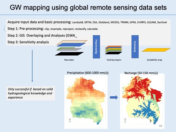
  • Availability of Global remote sensing data sets

Development

  • Introduction of management Aquifer Recharge model (water buffering)
  • Introduction of Solar energy

Management

  • Focus on Climate Resilience
  • Use of real-time data and models
  • Introduction of integrated governance and conflicts resolution

Monitoring

  • Use of real-time data and models
  • Dashboards

Read more: 

WAPOR

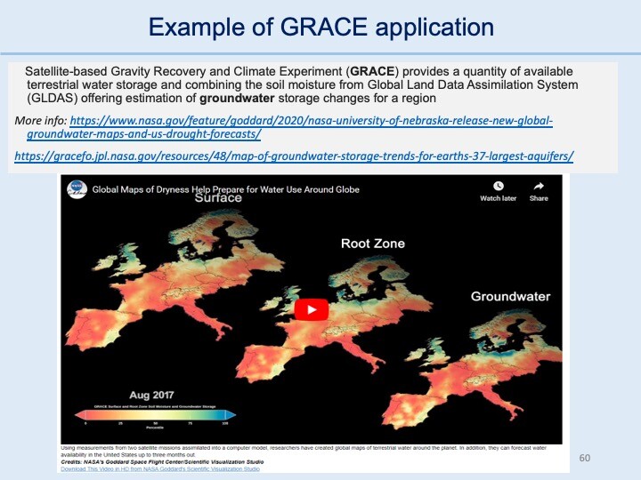
Example of GRACE application 1

Grace application

Transboundary aquifers

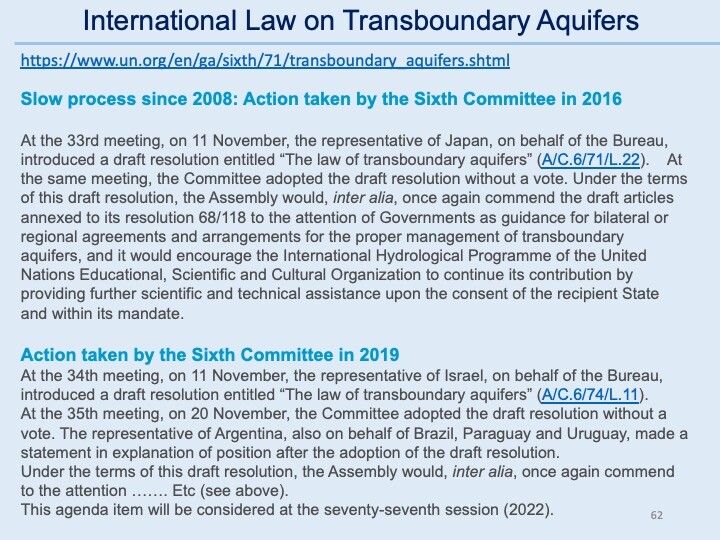
International Law on Transboundary Aquifers

Guarani Aquifer System 

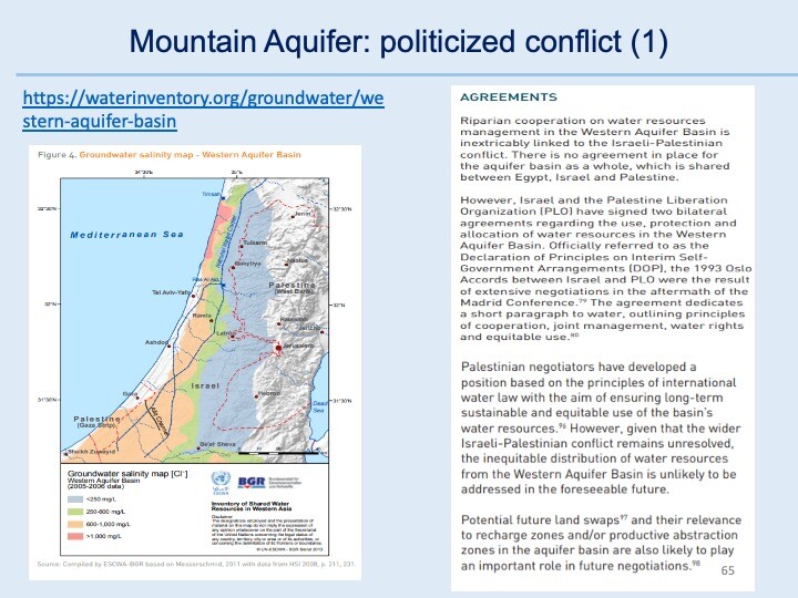
Mountain Aquifer: politicized conflict (1)

Mountain Aquifer: politicized conflict (2)

Nubian Sandstone: scientific cooperation

Wikipedia Nubian_Sandstone_Aquifer_System