Water Management
Following the advice of the Krug Mission in 1957, in 1963 a start was made with the formulation of a Master Plan with the objective of increasing agricultural production through surface-water-based engineering solutions, such as the construction of massive flood control structures and drainage improvements, to be followed by irrigation facilities. For coastal areas this meant the planning of polders, i.e. areas of low-lying land surrounded by earthen embankments. The WAPDA's first Master Plan was published in 1964. Major outcomes of the plan were the initiation of national-level water sector planning and the eventual implementation of large-scale Flood Control & Drainage (FCD) and Flood Control, Drainage & Irrigation (FCDI) projects. At this time, the extensive Bangladesh flood plain was characterized by abundant fish, a limited road network and the virtual absence of water-polluting industries. The construction of large embankments, which stopped the regular flooding, would eventually lead to a discontinuation of the centuries-long practice of ‘fish cum paddy culture’ without any action being taken to provide the infrastructure needed to promote alternative fish production
Coastal Embankment Project (CEP)
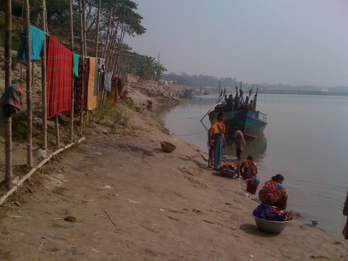
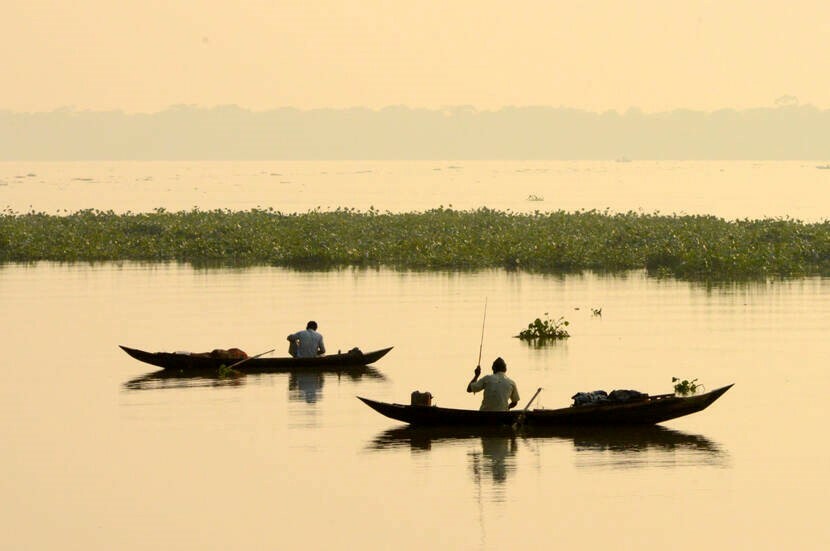
From the early 1960s polders were constructed in coastal areas to protect the coastal communities against salinity intrusion, daily tidal movement and occasional surges and so enable improved farming and aquaculture activities. The first such project was the Coastal Embankment Project (CEP), which was funded by USAID.
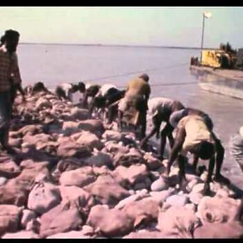
The CEP project was launched in 1961 and was inspired by the Dutch polder system. The CEP constructed high embankments with an estimated length of 4800 km, complemented with canals and sluices for internal drainage, to protect the entire tidal flood plain in the coastal areas of Khulna, Bakherganj, Noakhali and Chittagong. There are currently 139 polders in coastal Bangladesh. In contrast to the highly dynamic chars and the mud wall structure of the ‘zamindari’ systems, polders are larger and permanent systems, imposing stability on a dynamic deltaic system. The CEP was seen as having transformed the entire region into an area of perennial fresh-water agriculture, which benefited the local population who could now cultivate two or even three crops of rice per year. This result was in line with the 1964 Master Plan’s focus on increasing food production through large-scale public sector investments. Polders facilitated steady cultivation practices since drainage improved and people could now feel safe enough to settle inside the polders and create permanent settlements. However, ‘polderization’ also reduced the tidal prism of the rivers as flooding across the entire flood plain was prevented, which contributed to accelerated river siltation, over time reducing the drainage capacity of polders, eventually increasing waterlogging in the polders and reducing agricultural production capacity.
Flood, Control, Drainage and Irrigation (FCDI)
The CEP was one of the first in a series of 58 large-scale Flood, Control, Drainage and Irrigation (FCDI) projects implemented since the 1960s. Other examples of large FCDI projects are the Ganges Kobadak Irrigation Project (141,600 ha.) and the Brahmaputra Right Flood Embankment Project (226,000 ha.).
WASH
No specific new developments or milestones occurred in the WASH sector during this period.